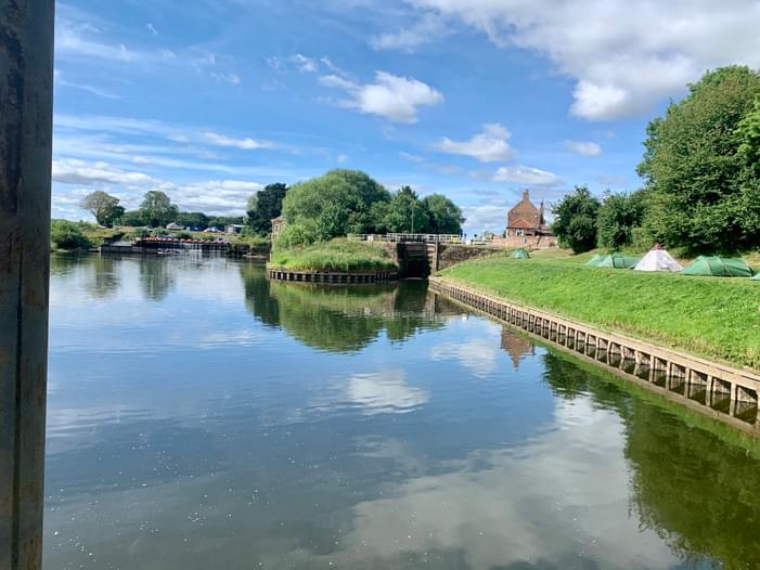
Good location for a paddle and a bite to eat or a drink. Canoes £3. Can launch above or below the lock to go up or down stream. Nice 3.3mile paddle up to Aldwark Bridge.
If you have any questions about this paddling location or have other relevant information that would be helpful to other paddlers, please add them as comments below for the entire community!
Report an Issue
Is there a problem with information on this location?


Comments
If you have any questions about this paddling location or have other relevant information that would be helpful to other paddlers, please add them as comments below for the entire community!