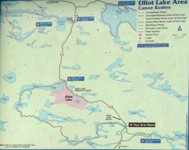
The Depot Lake boat launch is a great place stop and put in at. Right on highway 108, about 5 minutes south of the city of Elliot Lake. There’s a large map there showing canoe routes in the area. This is usually the end of a nice 4 to 7 portage trip right from the city on Elliot Lake, out to the west, and ending here at Depot Lake. Great parking, launch, washrooms, and picnicking sites. I believe you can camp there as well, but I’m not sure.
If you have any questions about this paddling location or have other relevant information that would be helpful to other paddlers, please add them as comments below for the entire community!
Report an Issue
Is there a problem with information on this location?


Comments
If you have any questions about this paddling location or have other relevant information that would be helpful to other paddlers, please add them as comments below for the entire community!