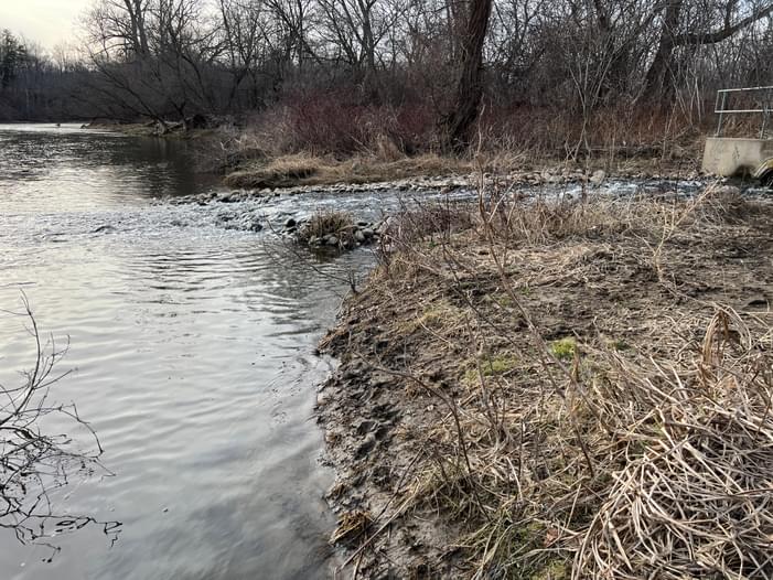
This site appears on the City's new paddling access map. It's at the end of the grass parking lot for the dog park. (There is enough space for a vehicle + trailer, unless there were many vehicles all parked at the far end.) To launch, you need to walk down a grassy slope to the river's edge. The slope is not very steep and it's level at the bottom. River flow direction is towards downtown. (There was a port-a-potty but uncertain if it remains year-round.)
If you have any questions about this paddling location or have other relevant information that would be helpful to other paddlers, please add them as comments below for the entire community!
Report an Issue
Is there a problem with information on this location?


Comments
If you have any questions about this paddling location or have other relevant information that would be helpful to other paddlers, please add them as comments below for the entire community!