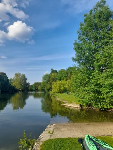
Public launch ramp in the picturesque village of Grez Sur Loing. There is a 1.5 km stretch of river which is easy to paddle in either direction. Alternatively continue downstream under the bridge and down the weir. From there you can continue to Moret sur Loing at which point the river joins the Seine.
If you have any questions about this paddling location or have other relevant information that would be helpful to other paddlers, please add them as comments below for the entire community!
Report an Issue
Is there a problem with information on this location?


Comments
If you have any questions about this paddling location or have other relevant information that would be helpful to other paddlers, please add them as comments below for the entire community!